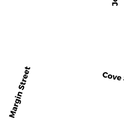
24 W RODNEY FRENCH BLVD
Owner Information
AMARAL MICHAEL L
24 W RODNEY FRENCH BLVD
NEW BEDFORD, MA 02744


Property Details
24 W RODNEY FRENCH BLVD is classified as a Single Family Residential (Cottage).
The primary structure on this property was built in 1891. There are 1,565ft2 of built area within this property. There is 1,565ft2 of residential/living space within this property. This property is listed as having 8 rooms.
24 W RODNEY FRENCH BLVD is valued at $178,000. The land is valued at $54,700 and the structures are valued at $123,300.
This property is in Zone MUB. Confirm with local Zoning Board authorities to ensure there are no overlays or other easements on this property.
The most recent deed for 24 W RODNEY FRENCH BLVD is recorded at the local registrar in Book 12048, Page 241. 24 W RODNEY FRENCH BLVD was last sold on Tuesday, April 18, 2017 for $160,000.
Assessment data from fiscal year 2021.
Flood Data
According to the FEMA National Flood Hazard Layer, this property does not appear to be in a flood zone. It may also be in an area not yet reviewed. Nonetheless, confirm this information prior to taking any action.
To view the flood hazards around this property, create a FEMA "Firmette" Map of the area around 24 W RODNEY FRENCH BLVD.
Broadband Internet Providers
| Provider | Type | Bandwidth (mbps) | |
|---|---|---|---|
| Comcast | Cable | 1000 | 35 |
| Viasat Inc | Satellite | 35 | 3 |
| HughesNet | Satellite | 25 | 3 |
| GCI Communication Corp. | Satellite | 0 | 0 |
| Verizon New England Inc. | DSL | 15 | 1 |
| VSAT Systems, LLC. | Satellite | 2 | 1 |
Broadband service provider data from December 2020.
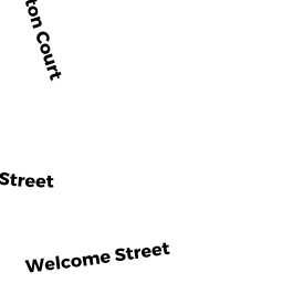
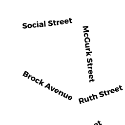
Adjacent Properties
- 30 WELCOME ST
Apartments with Four to Eight Units owned by ST GELAIS KONRAD - 29 SOCIAL ST
Single Family Residential owned by MACCORD IRENE SARAH LEE - 28 W RODNEY FRENCH BLVD
Two-Family Residential owned by DIAZ JONATHAN O - 22 W RODNEY FRENCH BLVD
Apartments with Four to Eight Units owned by MACEDO RICHARD F `TRUSTEE` RICHARD F "TRS"